 vesseltracker.com
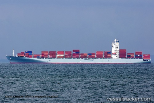
Vessel MAERSK WALLIS IMO: 9459632, MMSI: 563148100 Container Ship
UTC, 23.80144, 118.51783, course: 234, speed: 14.7
UTC, 23.46944, 118.10858, course: 231, speed: 15.5
2026-02-20 19:55:34 UTC, 23.23901, 117.81264, course: 239, speed: 15.6
Live AIS position:
UTC. 14 nm SE of Nanao Pt),
updated 2026-02-20 19:55:34 UTC.
Find the position of the vessel MAERSK WALLIS on the map. The latter are known coordinates and path.
marine traffic ship tracker show on live map
The current position of vessel MAERSK WALLIS is 23.23901 lat / 117.81264 lng. Updated: 2026-02-20 19:55:34 UTCCurrently sailing under the flag of Singapore
MAERSK WALLIS built in 2010 year
Deadweight:
50713 tDetails:
Last coordinates of the vessel:
UTC, 24.14084, 118.94984, course: 227, speed: 13.6UTC, 23.80144, 118.51783, course: 234, speed: 14.7
UTC, 23.46944, 118.10858, course: 231, speed: 15.5
2026-02-20 19:55:34 UTC, 23.23901, 117.81264, course: 239, speed: 15.6